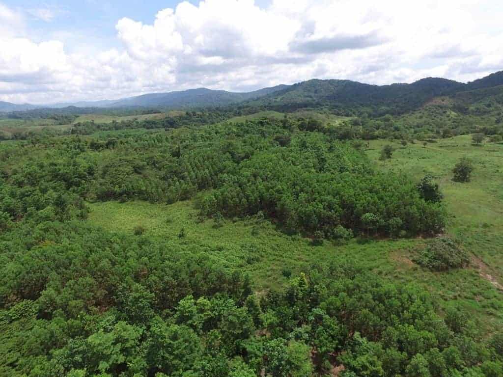
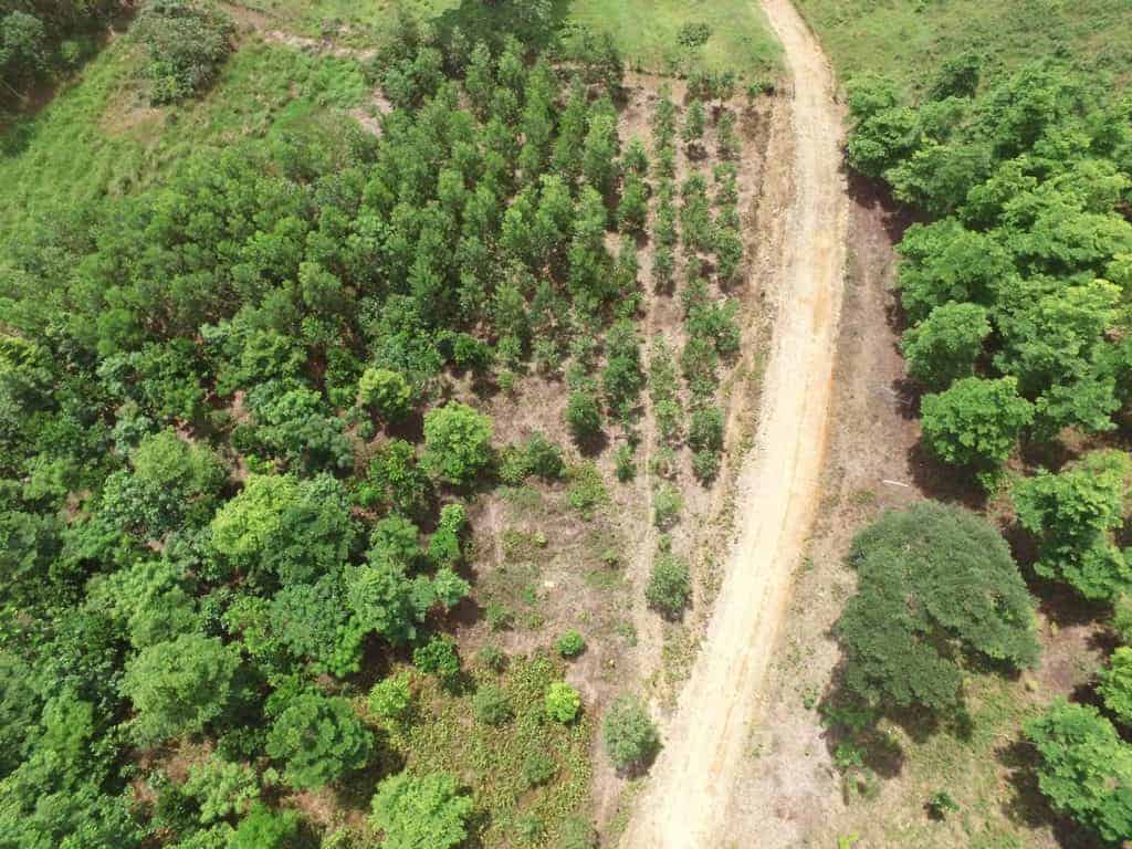
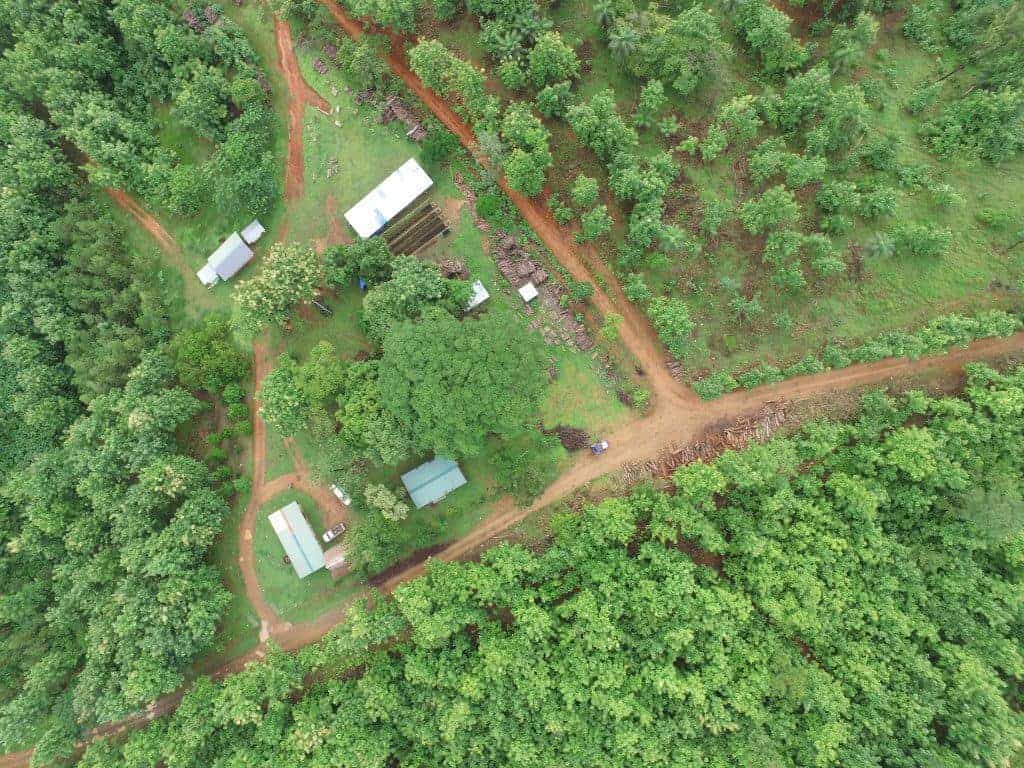
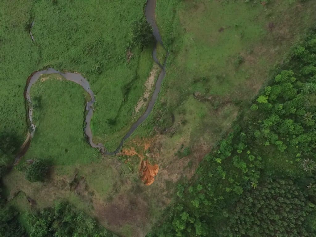
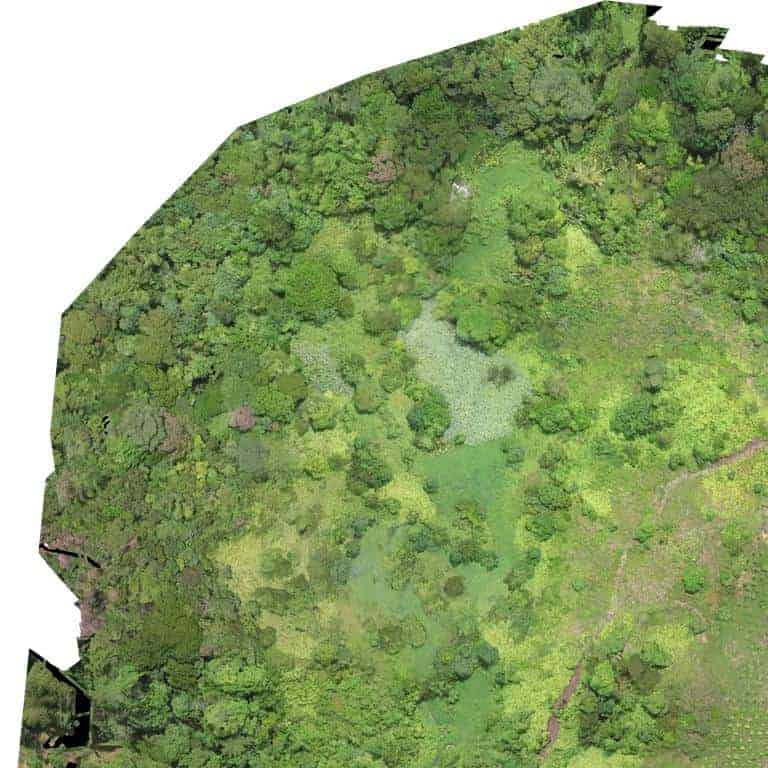
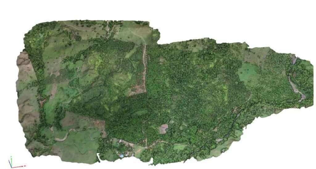
Data collection and analysis was provided for an area of 500 hectares in Panama. Images taken helped to create a mosaic landscape picture with a resolution of 5cm/pixel allowing for the differentiation between productive and unproductive areas and different land uses. By ground control points a precise orthorectification of the created landscape mosaic picture is facilitated. Mapping by drone provides for a precision usually better than common satellite image analysis. It also shows that mapping only with regular topography tools (handheld GPS) can lead to over- or underestimation of productive areas.
Project Type
Land use mapping based on drone data acquisition and analysis
General Project Information
Location
Panama
Project Duration
March – April 2017
Our key services
Acquisition of aerial drone images and data
Land use digitalization, area calculation and mapping based on high resolution mosaic (5cm/pixel)
Our Work on Site
Partners
WHAT CAN WE DO FOR YOU?
German Rodriguez Senior Director Nature-Based Solutions